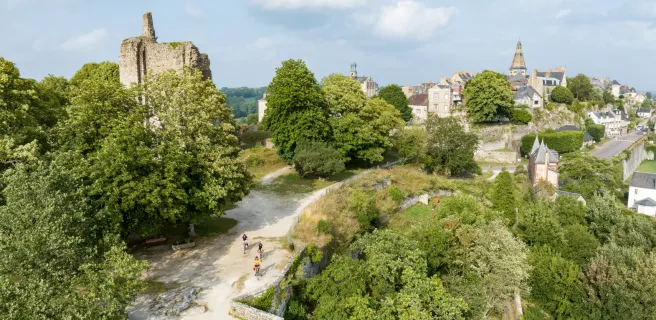
2 stages · 72 km

Gradients and elevation

Ascents: 141m
Descents: 196m
Lowest point: 106m
Highest point: 218m

Road types

28km (38%) By road
45km (62%) Cycle path

Surface

38km (169%) Smooth
7km (31%) Unknown

2 stages used

Flers / Domfront

6 Flers / Domfront

23 km
1 h 30 min
I begin / Family
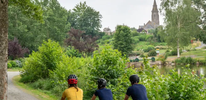
You change cycle track after Flers station. Crossing the outskirts of town, near La Selle-la-Forge, at the place named Fumeçon, a greenway’s compact track takes you down a gentle slope to the Varenne River, which you’ll get close to many times along this stage. The local heritage recalls the area’s mining past as well as its agricultural past. Take it all in on what is a peaceful stretch for cyclists.
Domfront / Mayenne

7 Domfront / Mayenne

50 km
2 h 58 min
I begin / Family
The route leaves the southern Norman hilltop town of Domfront, taking you on a long stage going via roads and greenways beside the Varenne River up to the Mayenne River and on to Mayenne-town. Three remarkable sights on the Varenne are the mills of Moulin de Varenne, Moulin d’Ambloux and Pont des Planches. The village of Ambrières-les-Vallées offers a last view of the Varenne before you join the banks of the Mayenne. Works are in progress, but the signposts will guide you throughout the deviation.
Show stages